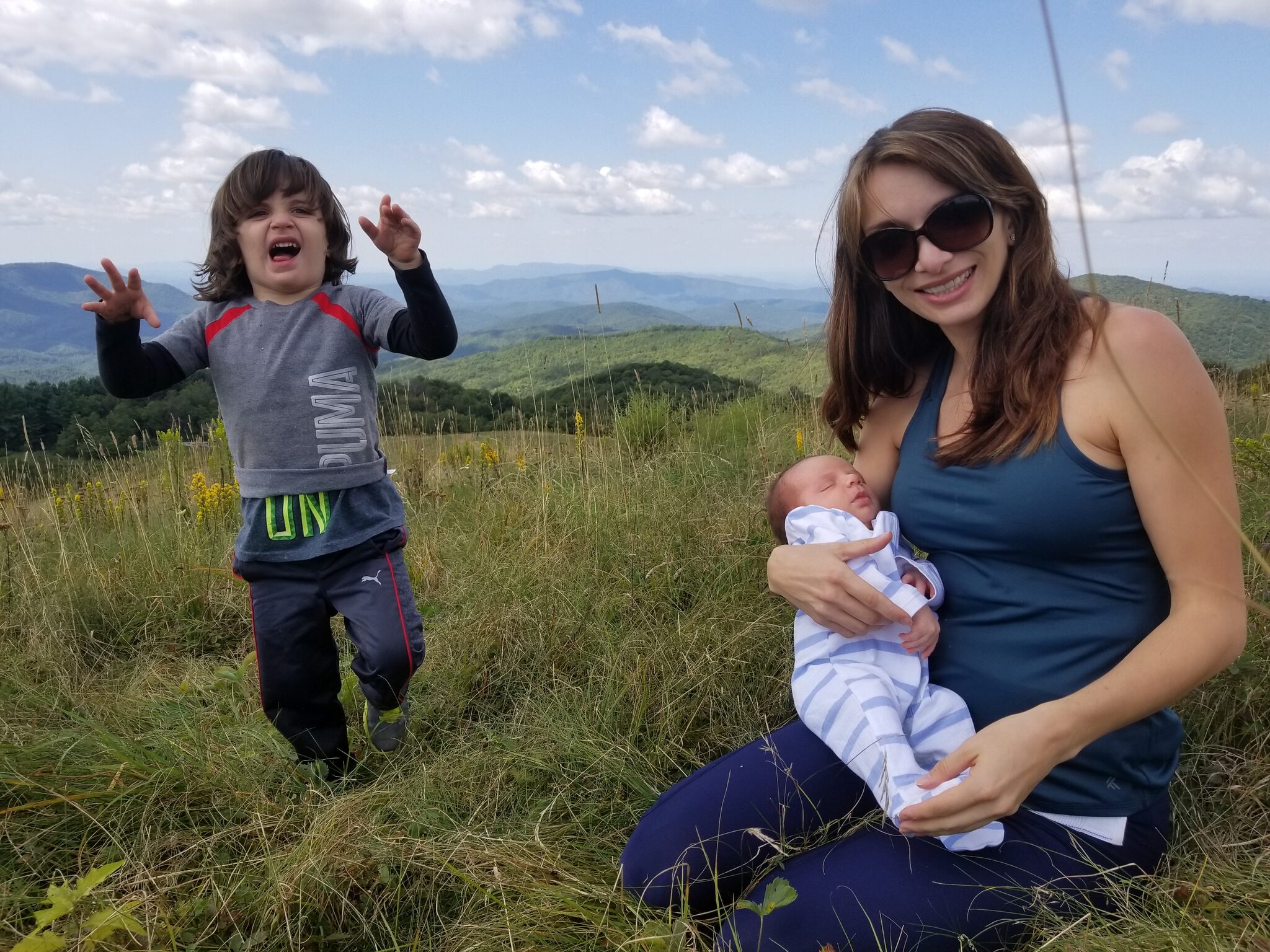
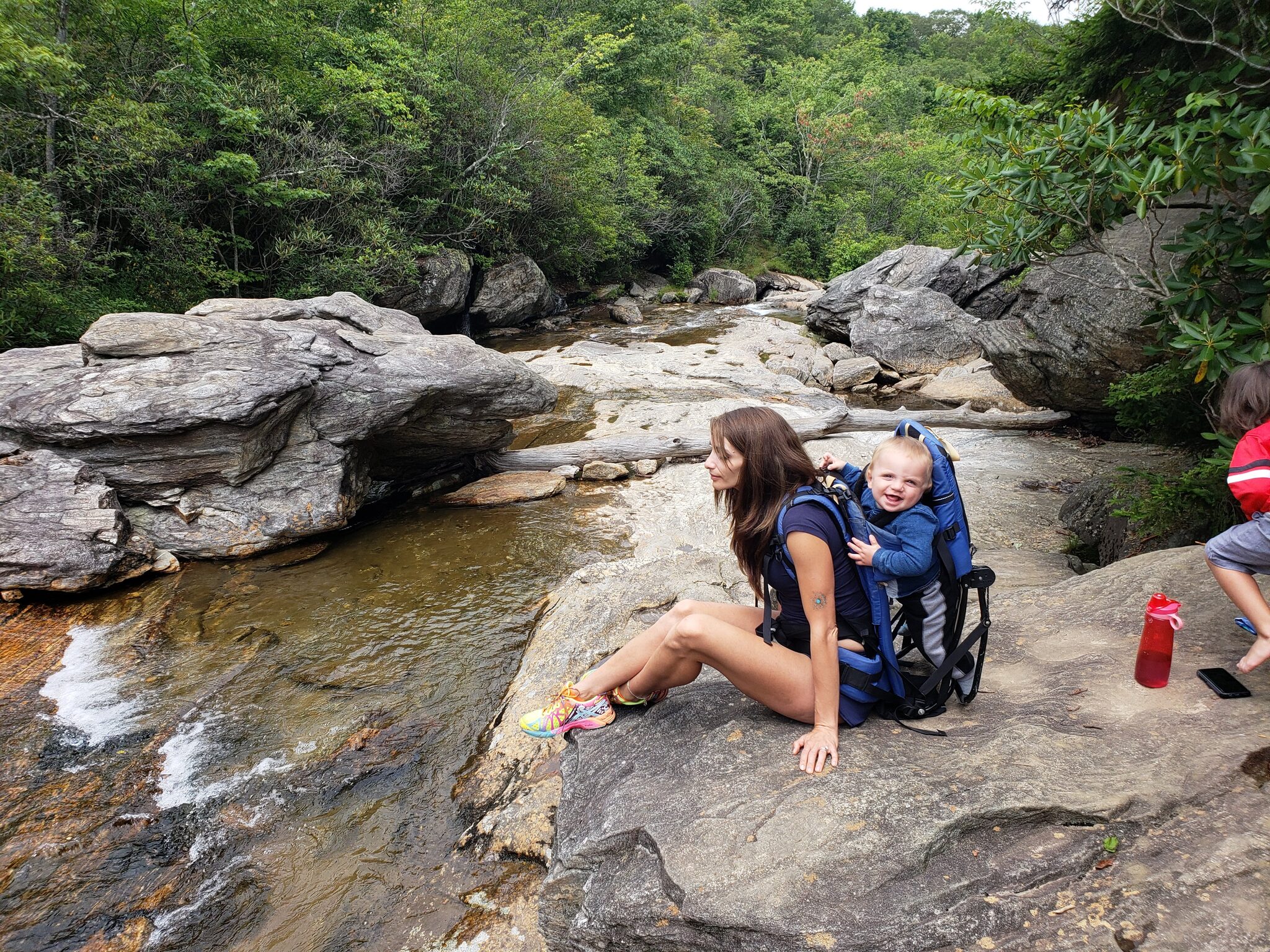
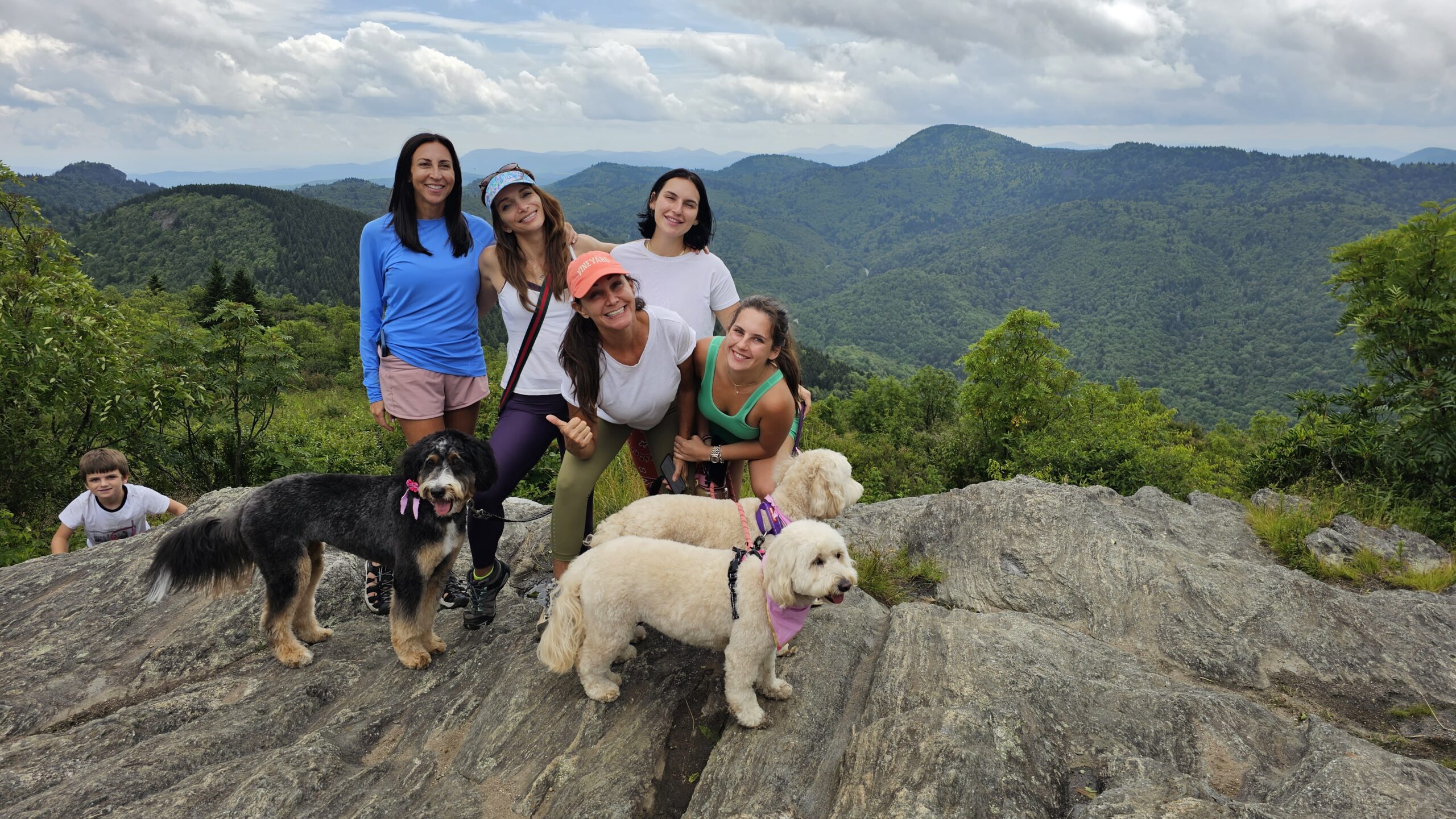
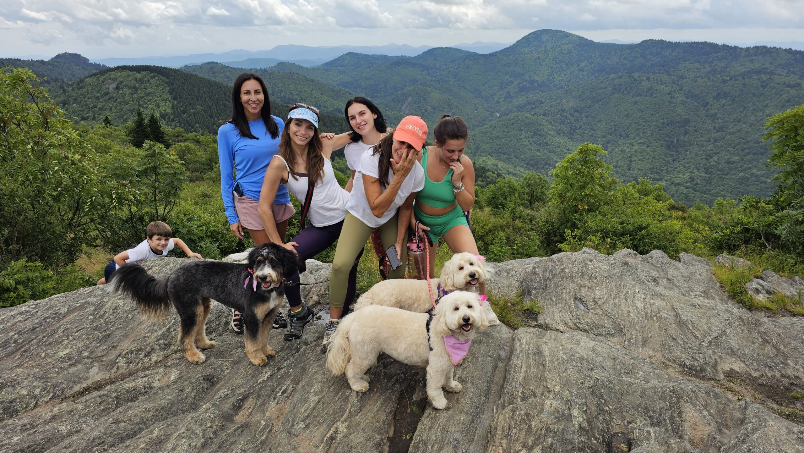
After 8+ years of hiking these mountains almost every week, these are my personal favorite trails near Waynesville. I've organized them starting with my top 5 must-do hikes — the ones I send every cabin guest to first — followed by more great options sorted by difficulty. Every trailhead listed is within an hour of our luxury cabin.
Looking for waterfall hikes specifically? Check out our complete guide to the best waterfalls near the Smoky Mountains.
My Top 5 Must-Do Hikes
1. Black Balsam Knob via Art Loeb Trail

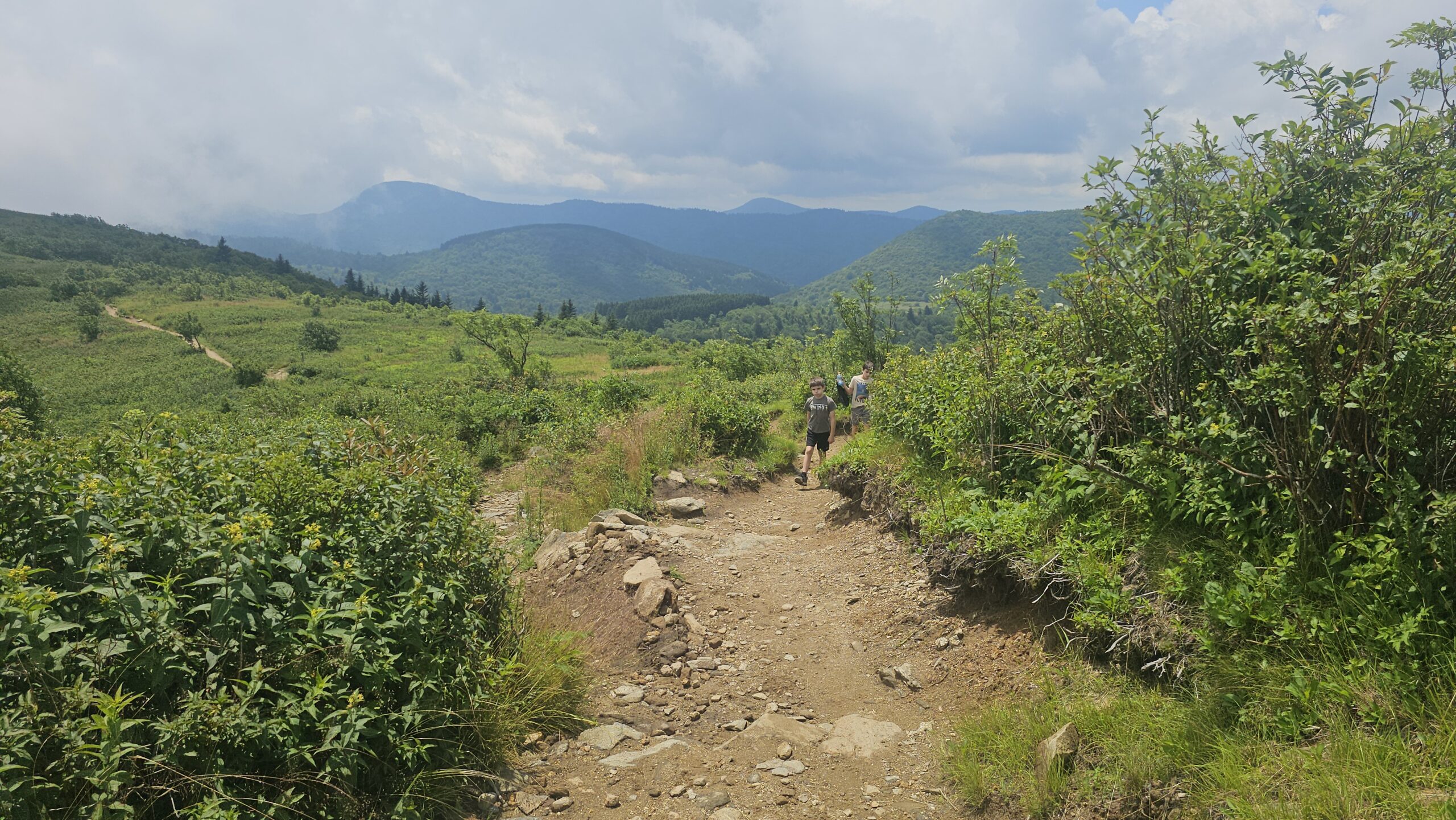
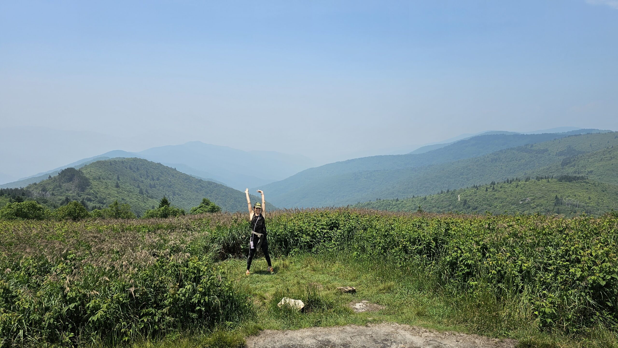
This is the first hike I send every single guest to — and for good reason. At 6,214 feet, Black Balsam Knob is one of the most accessible high-elevation summits on the Blue Ridge Parkway. The Art Loeb Trail climbs through a short stretch of rocky terrain to a wide-open grassy bald with commanding 360-degree views of the Shining Rock Wilderness, Graveyard Fields, and Mount Pisgah. The whole hike is only about 1.5 miles round trip, but the views rival anything in the Smokies. Get there for sunrise if you can — it's unforgettable.
Difficulty: Moderate (rocky terrain, steep in spots)
Parking: Black Balsam parking area, Blue Ridge Parkway Milepost 420.2
Drive from Cabin: 25 minutes — 📍 Get Directions from Our Cabin
Official Info: U.S. Forest Service — Art Loeb Trail
AllTrails: View on AllTrails — Black Balsam Knob via Art Loeb Trail
2. Max Patch
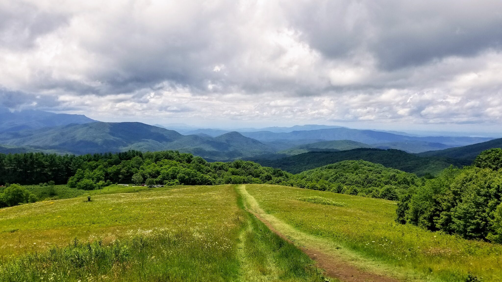
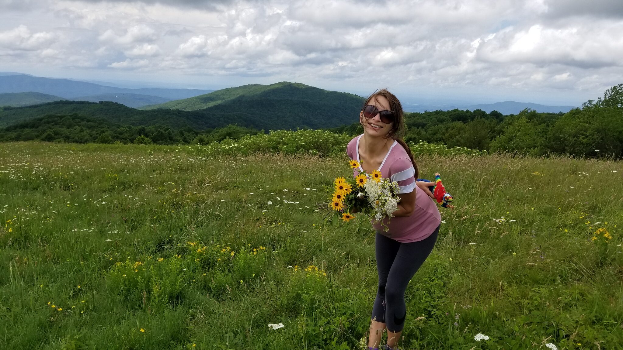
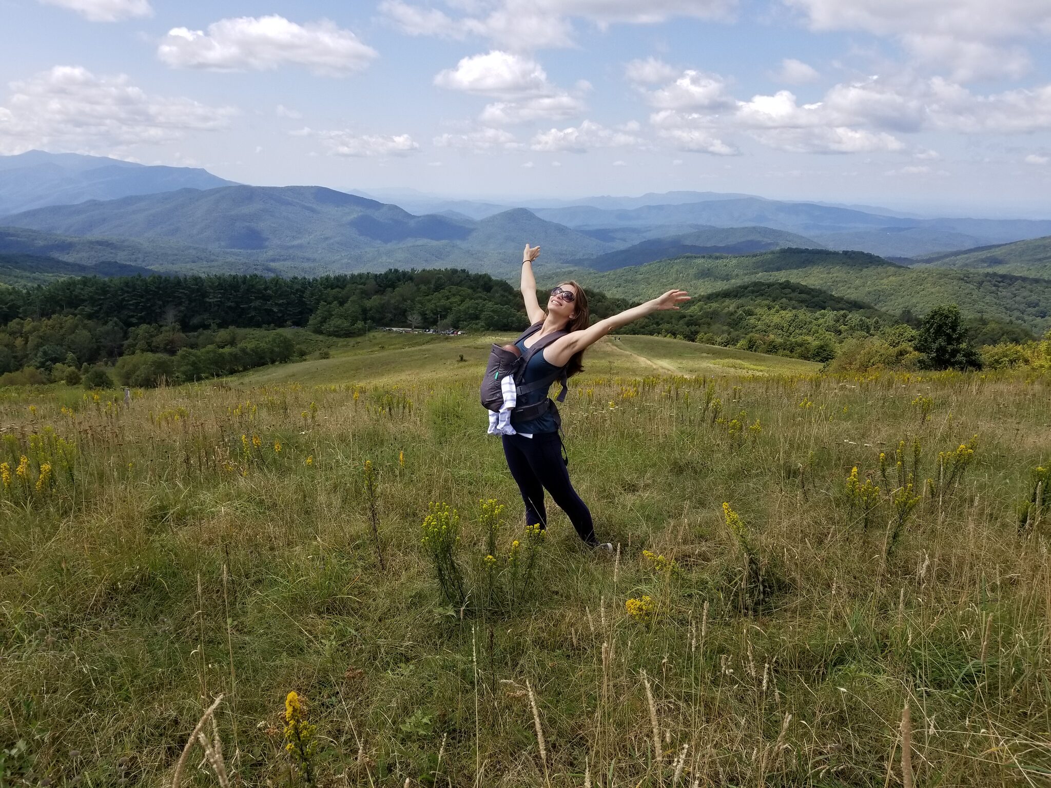
The second hike I always recommend. Max Patch is a grassy bald summit on the Appalachian Trail with unobstructed 360-degree views of the Blue Ridge and Smoky Mountains. The hike is only about 1.5 miles from the upper parking lot, but the drive is an adventure in itself — winding through rural Madison County on gravel roads. The summit is like standing on top of the world. Popular for picnics, sunset watching, and even stargazing. One of the most photographed spots in Western NC.
Difficulty: Easy to moderate
Access: Gravel road (2WD ok in summer, can be rough in winter)
Drive from Cabin: 45 minutes — 📍 Get Directions from Our Cabin
Official Info: Appalachian Trail Conservancy — Max Patch
AllTrails: View on AllTrails — Max Patch Loop
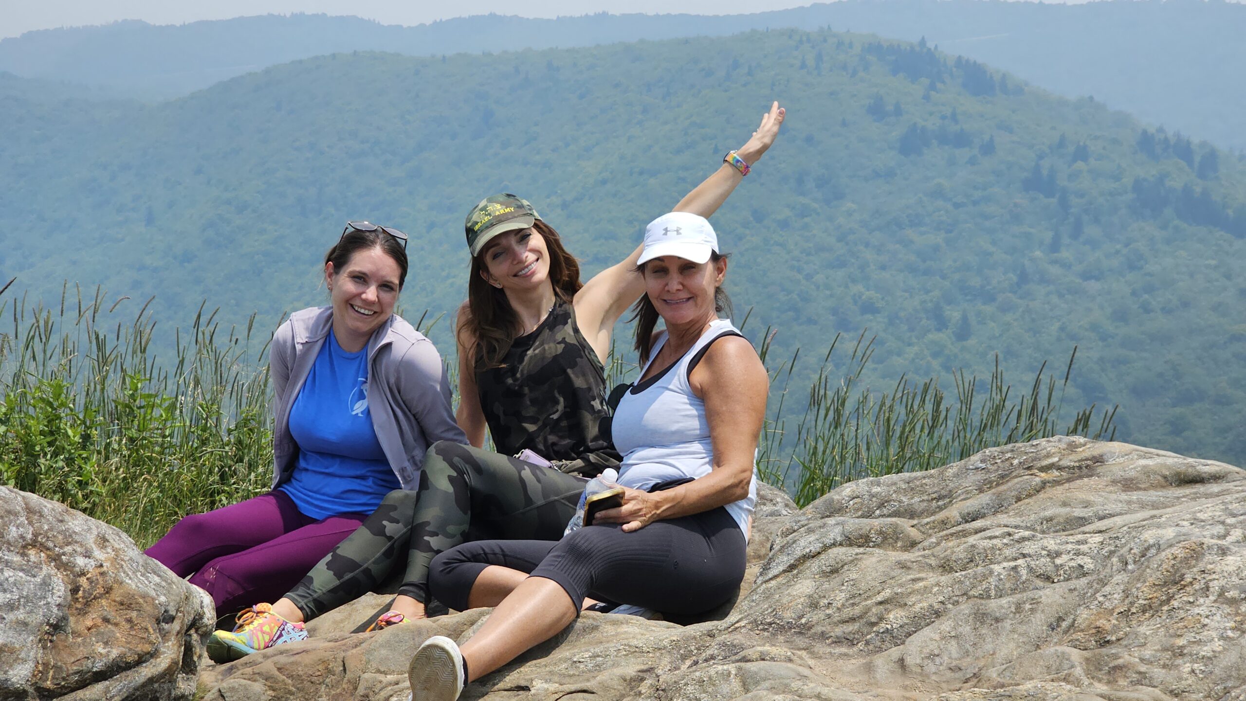
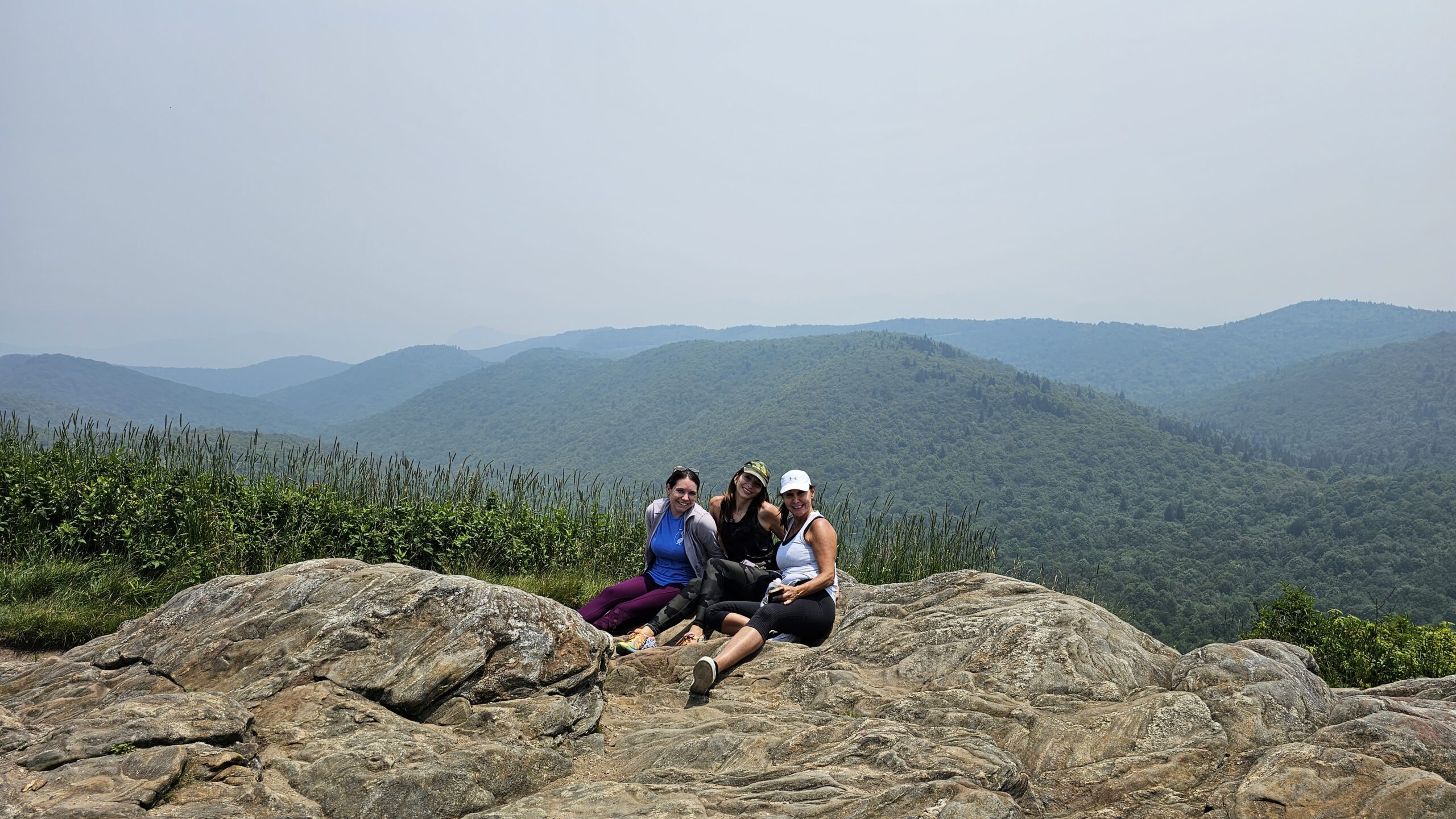
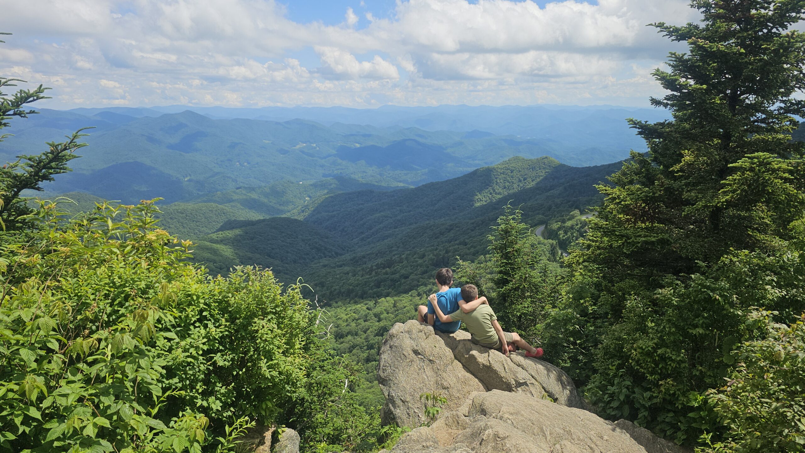
3. The Pinnacle Trail
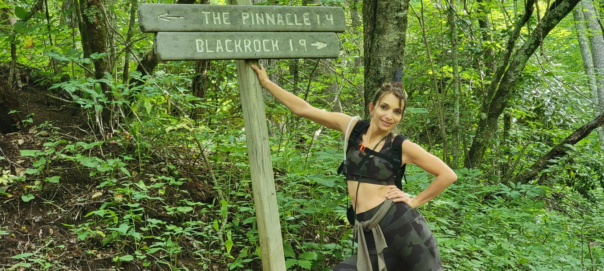
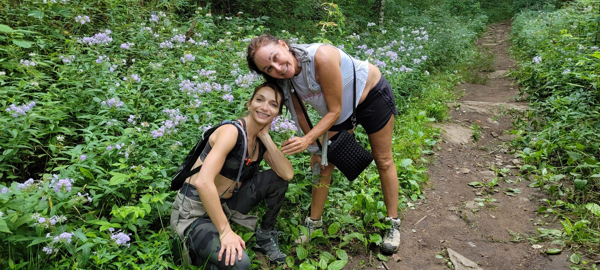
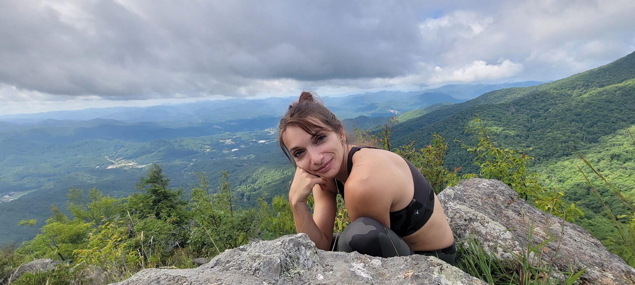
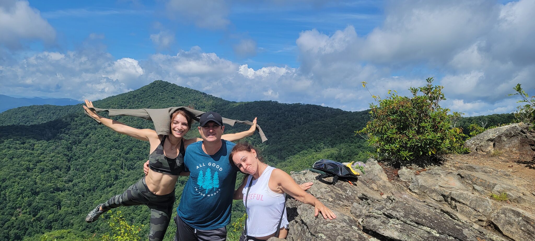
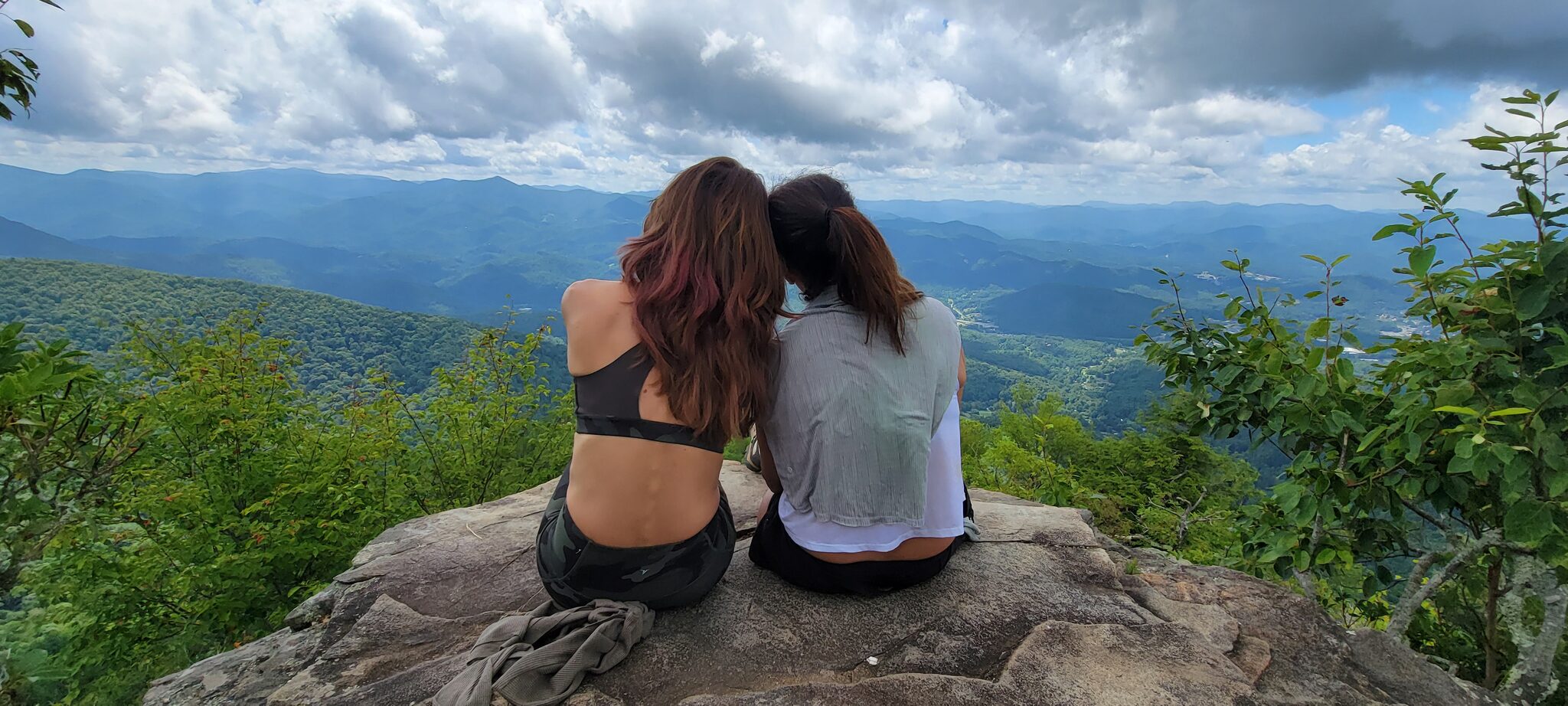
This one is harder — but it's my personal favorite. The Pinnacle rises sharply from the edge of the Plott Balsam range, towering over 2,500 feet above the town of Sylva. The trail climbs through a scenic, creek-filled forest before a steep final push to the rocky summit at just over 5,000 feet. The views from the sun-drenched rock outcrops are sublime — stretching over the surrounding Appalachian peaks, the Blue Ridge Parkway, and the Great Smoky Mountains on the horizon. The summit's drop-offs are steep and sudden, so take care up top.
Difficulty: Challenging (steep, rocky, strenuous)
Parking: Free at Pinnacle Park, Sylva • Camping: Free (first come, first served)
Drive from Cabin: 25 minutes — 📍 Get Directions from Our Cabin
Official Info: HikeWNC — Pinnacle Park
AllTrails: View on AllTrails — The Pinnacle Trail
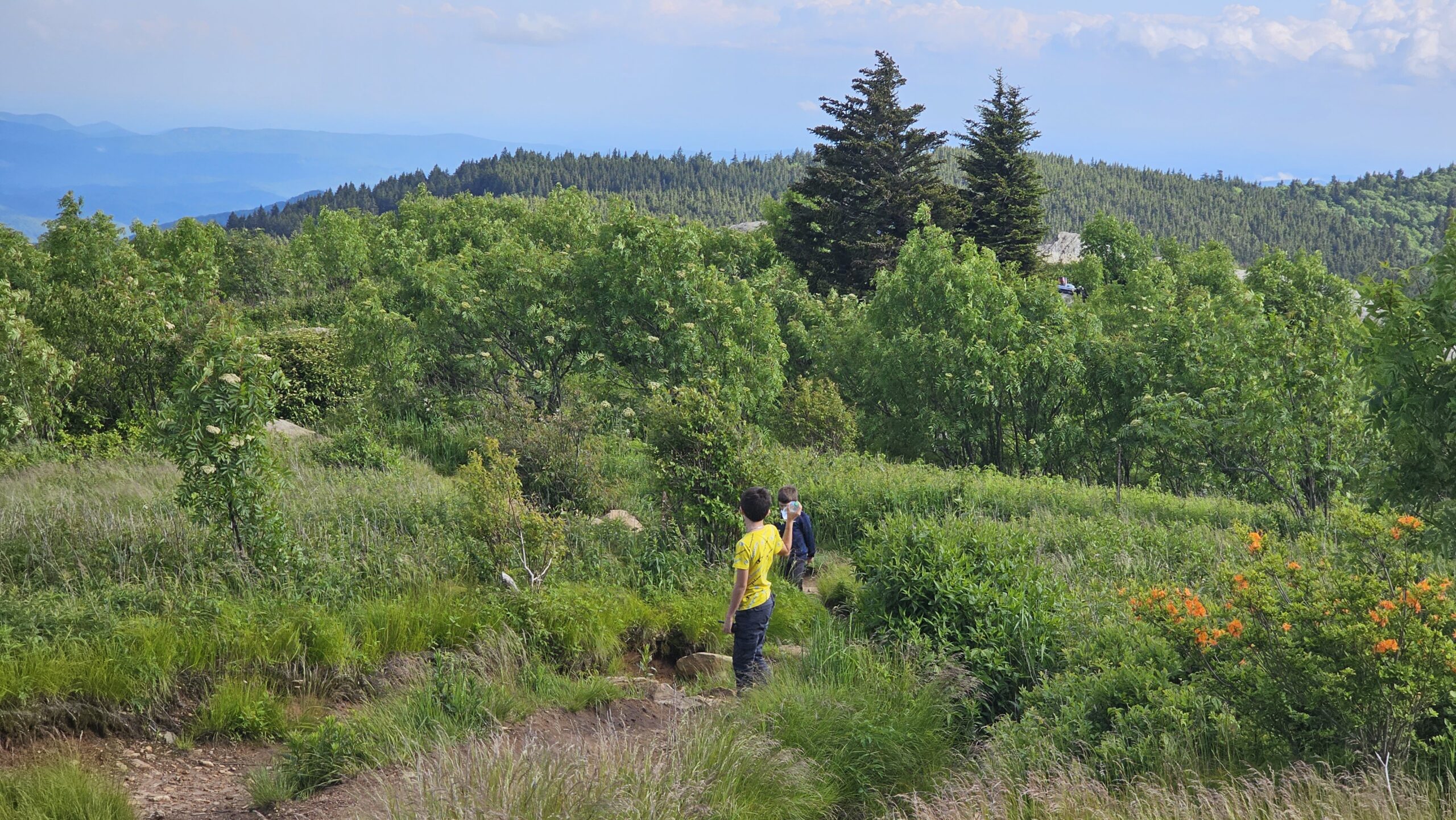
4. Ivestor Gap / Tennent Mountain / Black Balsam Loop
If you loved Black Balsam (trail #1 on this list), this loop gives you more of the same magic. The route hits both Black Balsam Knob and neighboring Tennent Mountain, then winds down through the Ivestor Gap Trail on the lower elevations with views of nearby Sam Knob. It's one of my favorite loops in the area — longer than the quick Art Loeb out-and-back but still very doable in a morning, and the views just keep coming the entire time.
Difficulty: Moderate
Parking: Black Balsam parking area, Parkway Milepost 420.2
Drive from Cabin: 25 minutes — 📍 Get Directions from Our Cabin
Official Info: Asheville Trails — Black Balsam & Tennent Mountain Loop
AllTrails: View on AllTrails — Ivestor Gap, Tennent Mountain & Black Balsam Loop
5. Devil's Courthouse
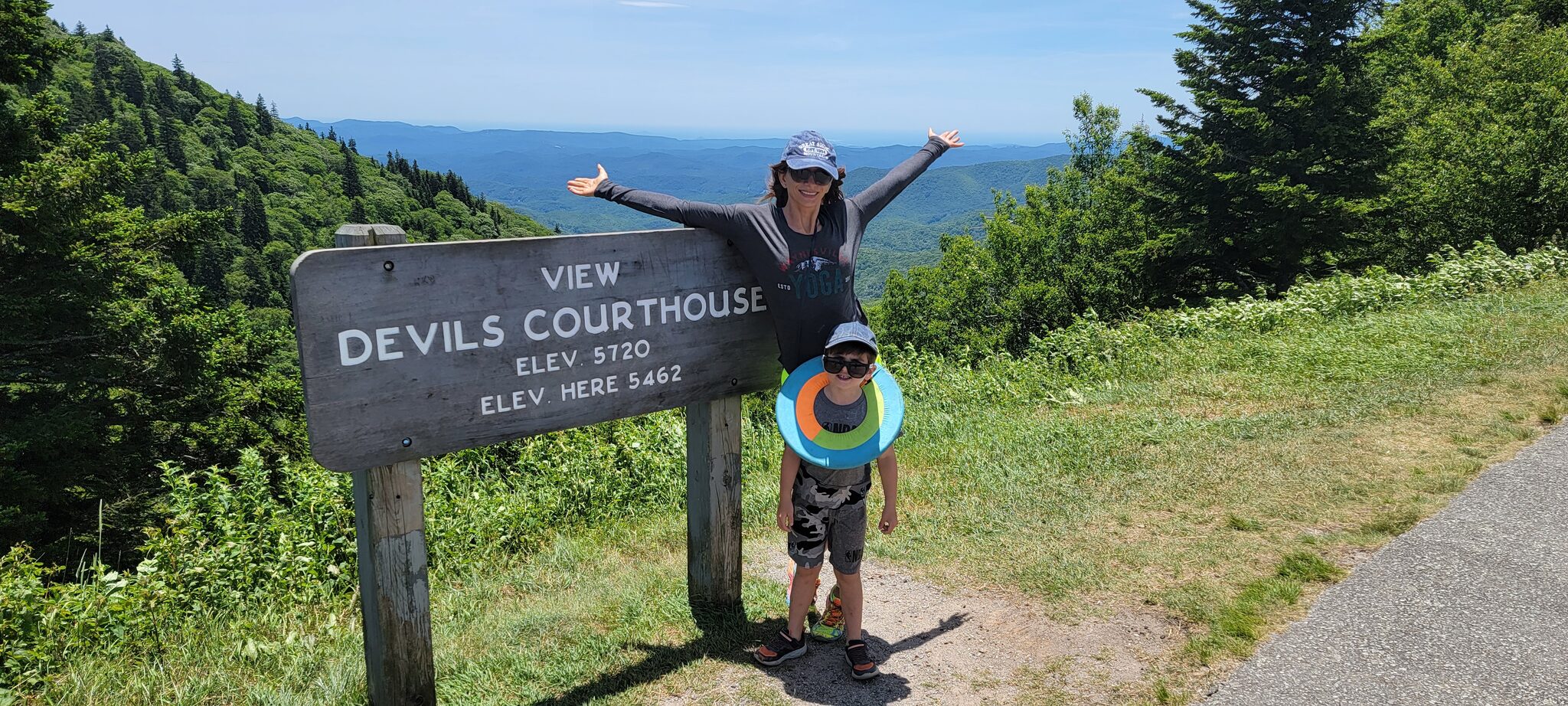
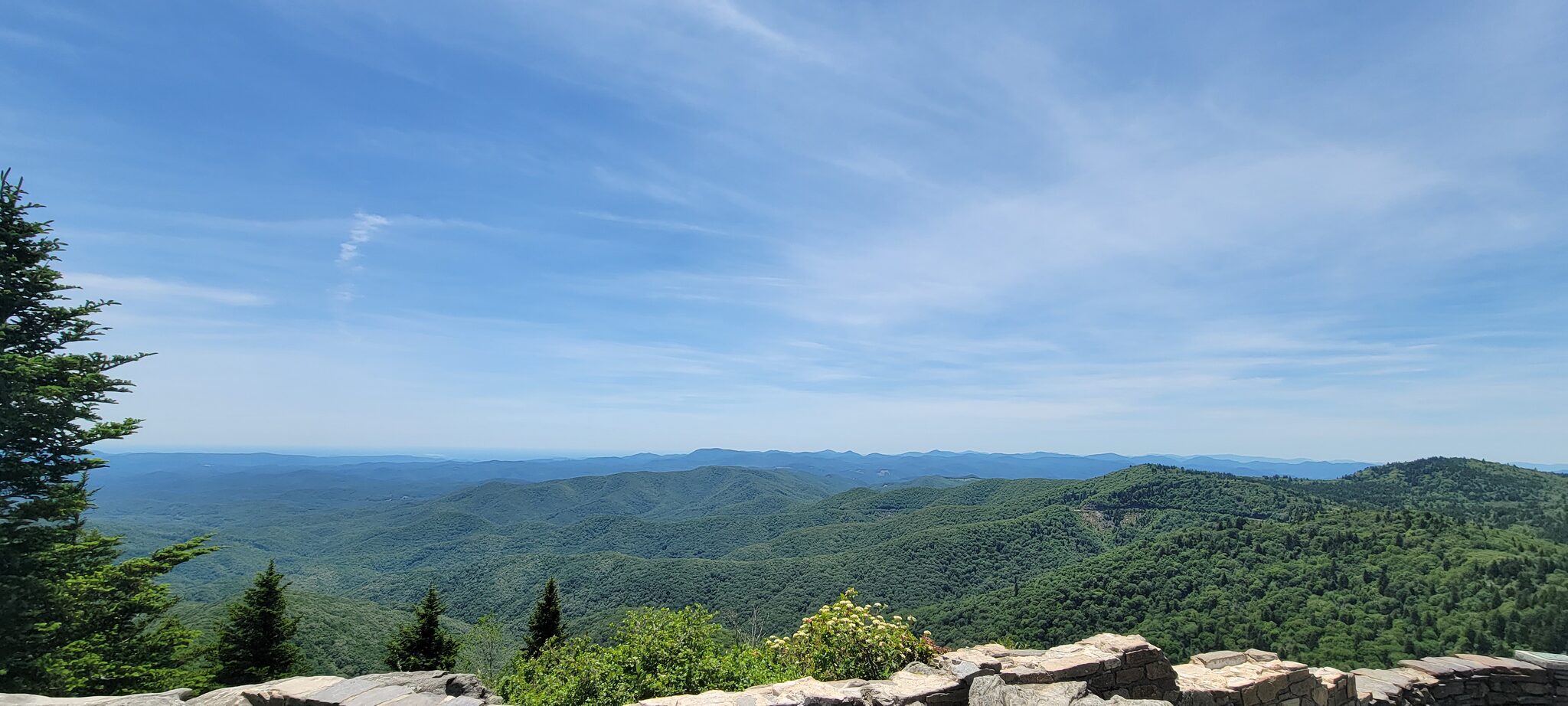
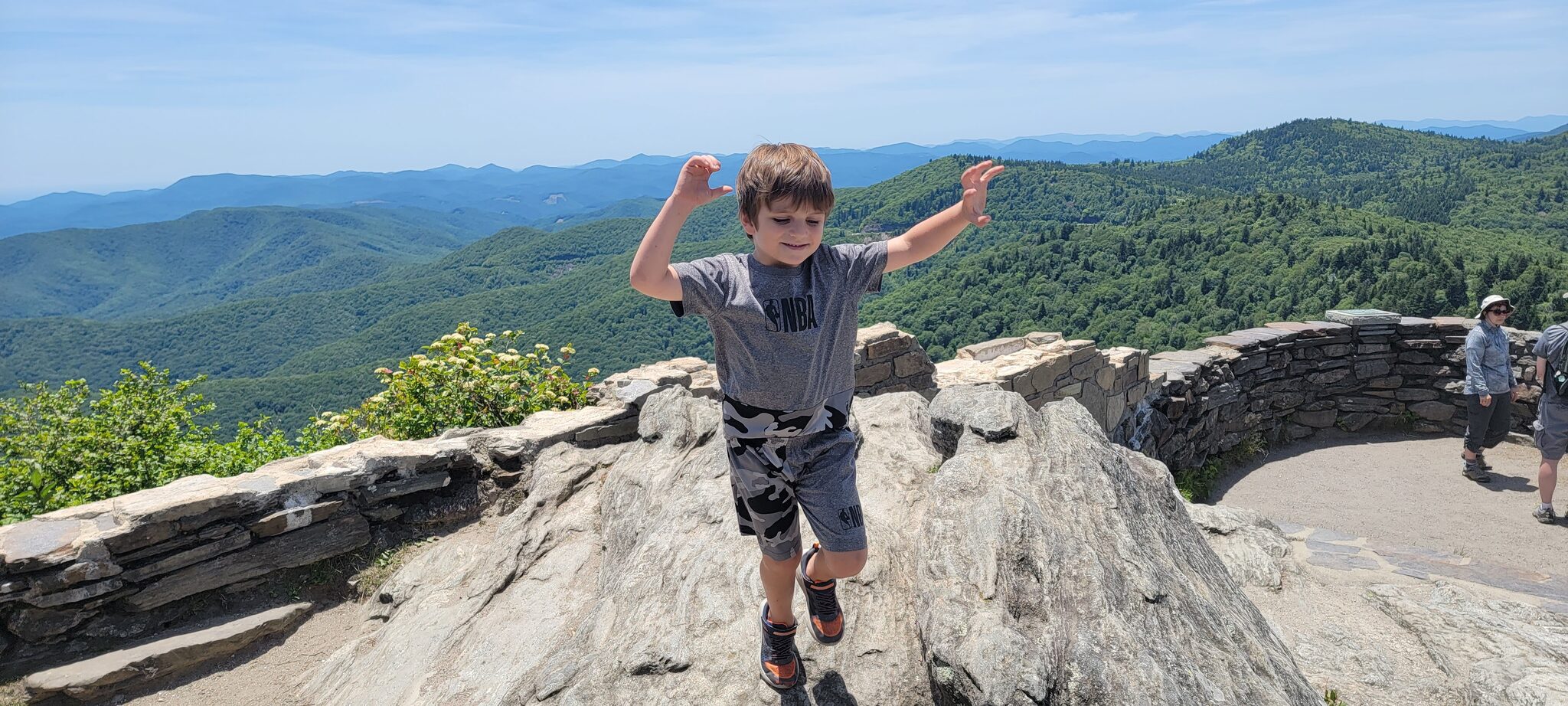
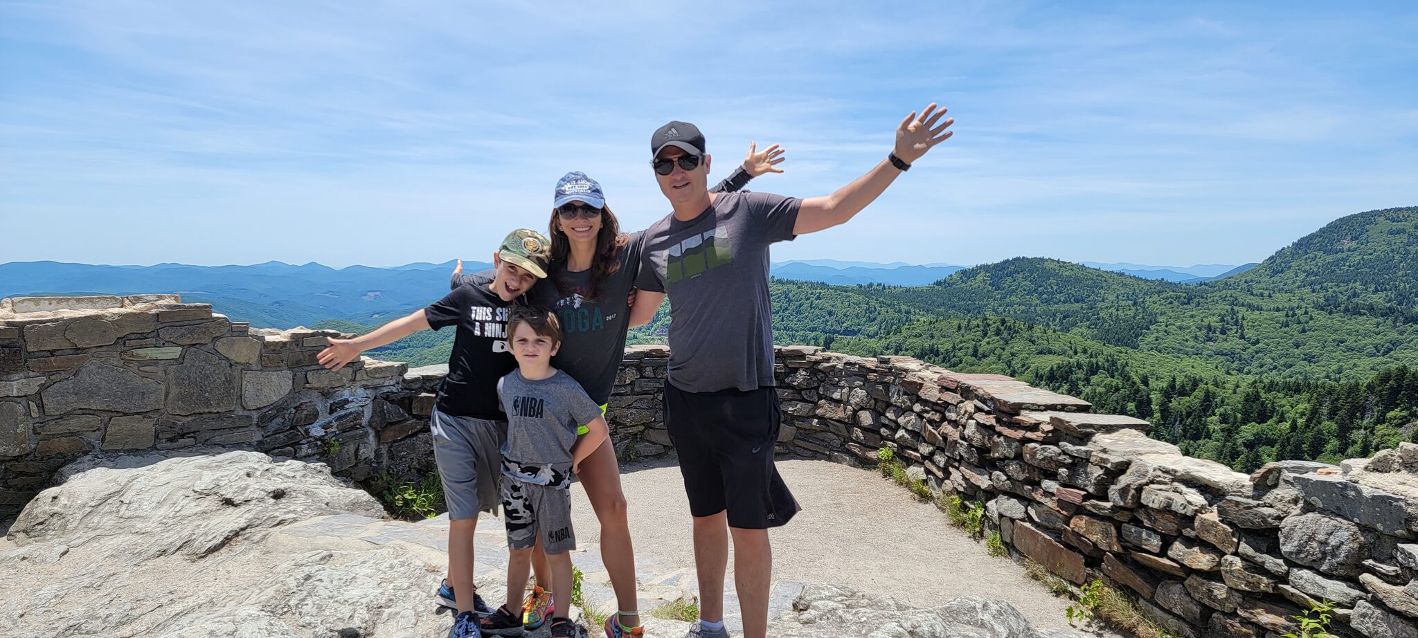
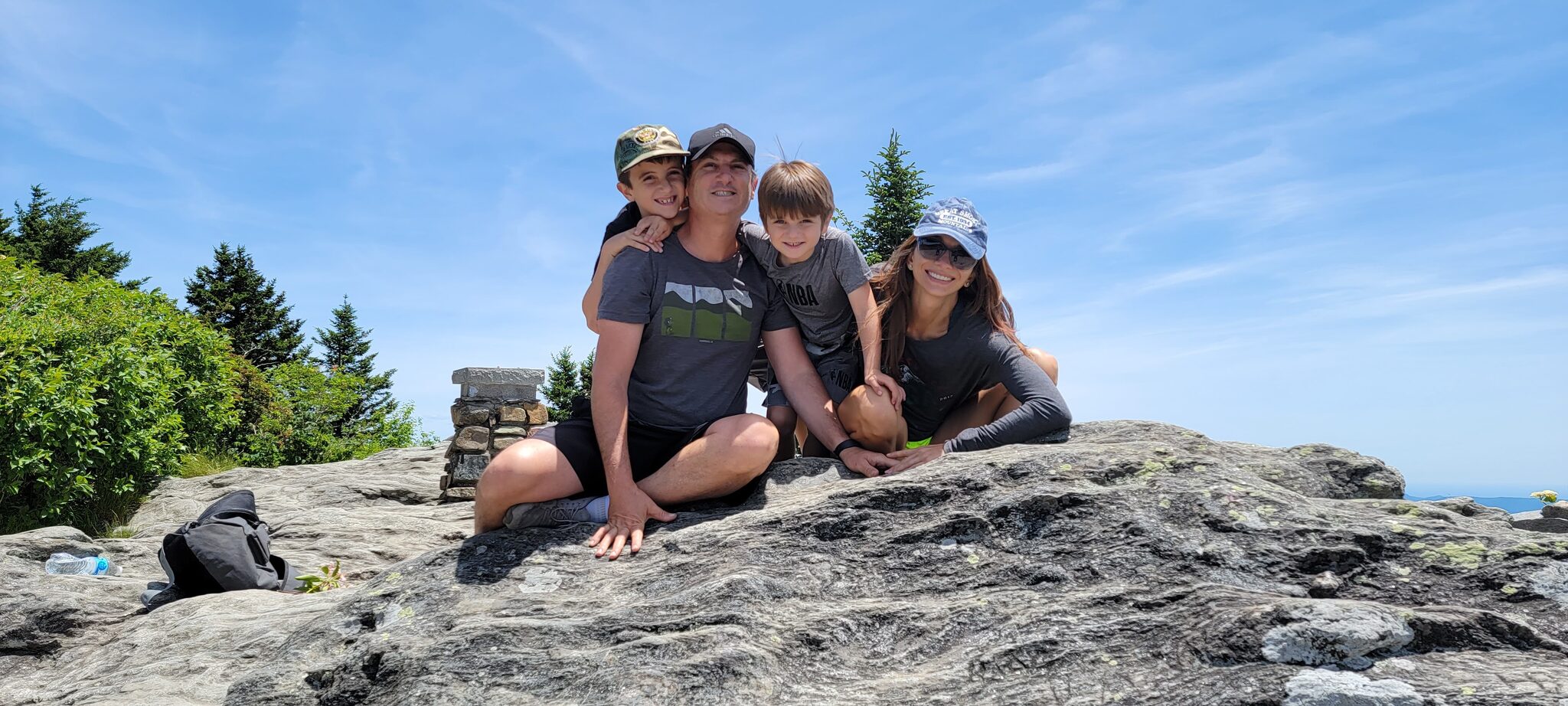
Don't let the name scare you — this is one of the most rewarding short hikes on the entire Blue Ridge Parkway. A paved, steep half-mile trail climbs from the parking area to a massive exposed rock summit at 5,720 feet. The 360-degree views from the top are jaw-dropping — you can see into North Carolina, South Carolina, Tennessee, and Georgia on a clear day. The summit is a bare rock outcrop with a metal railing, so hold onto kids up top. It's quick, it's intense, and the views are absolutely world-class.
Difficulty: Moderate (short but steep paved trail)
Parking: Paved lot at Blue Ridge Parkway Milepost 422.4
Drive from Cabin: 25 minutes — 📍 Get Directions from Our Cabin
Official Info: Asheville Trails — Devil's Courthouse
AllTrails: View on AllTrails — Devil's Courthouse Trail
Smoky Mountain Dream is just minutes from every trailhead on this list. 5 bedrooms, sleeps 10, with a wraparound deck to unwind after a day on the trails. Check availability →
Easy & Family-Friendly
6. Lake Junaluska Trail
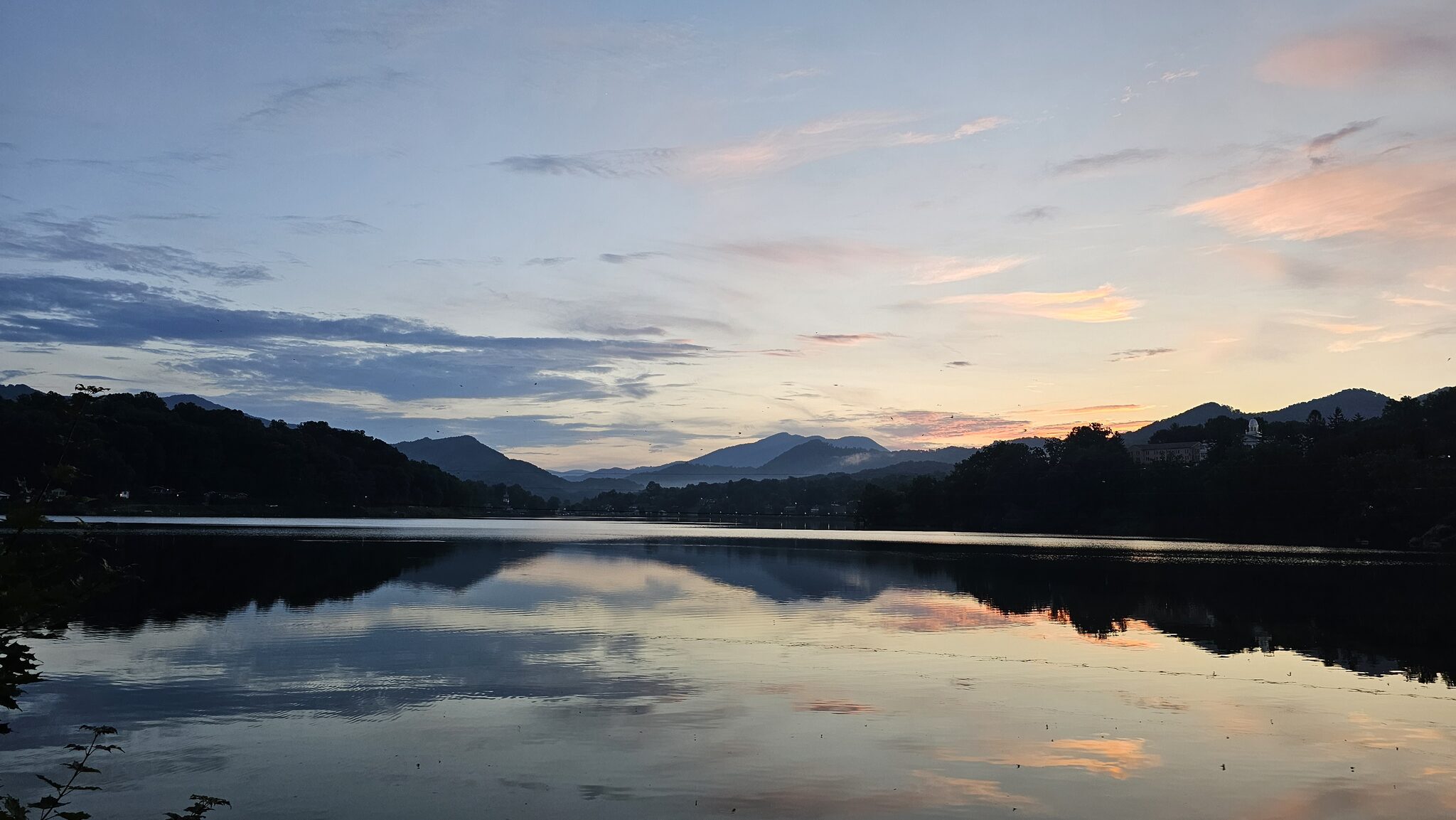
This isn't exactly a trail — it's a paved lakeside walking path — but it's one of the closest and easiest outings from the cabin, and it's beautiful. The loop follows the shore of Lake Junaluska through the historic conference center grounds with mountain views the entire way. Flat, wide, wheelchair and stroller accessible, and free to use year-round. Great for a morning stroll, an evening walk, or when you just want to be outside without breaking a sweat.
Difficulty: Easy • Accessible: Wheelchair, stroller, scooter friendly
Drive from Cabin: 10 minutes — 📍 Get Directions from Our Cabin
Official Info: Lake Junaluska — Walking Trail
AllTrails: View on AllTrails — Lake Junaluska Trail
7. Oconaluftee River Trail
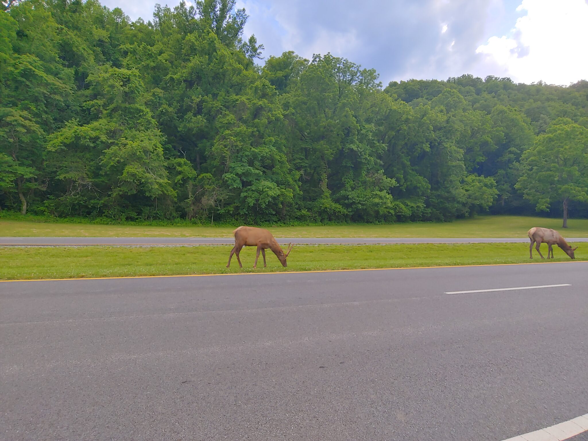
A flat, paved 1.5-mile trail along the river from the Oconaluftee Visitor Center into Cherokee. Stroller-friendly, wheelchair-accessible, and beautiful. Elk are frequently spotted grazing in the fields along this trail — especially at dawn and dusk. The visitor center has exhibits, ranger programs, and the Mountain Farm Museum — a collection of historic log buildings that kids love to explore. Want to learn more about the elk? Check out our complete guide to elk viewing in Cataloochee Valley.
Wildlife: Elk sightings common • Dogs: Allowed on leash (one of only two GSMNP trails)
Drive from Cabin: 25 minutes — 📍 Get Directions from Our Cabin
Official Info: National Park Service — Oconaluftee River Trail
AllTrails: View on AllTrails — Oconaluftee River Trail
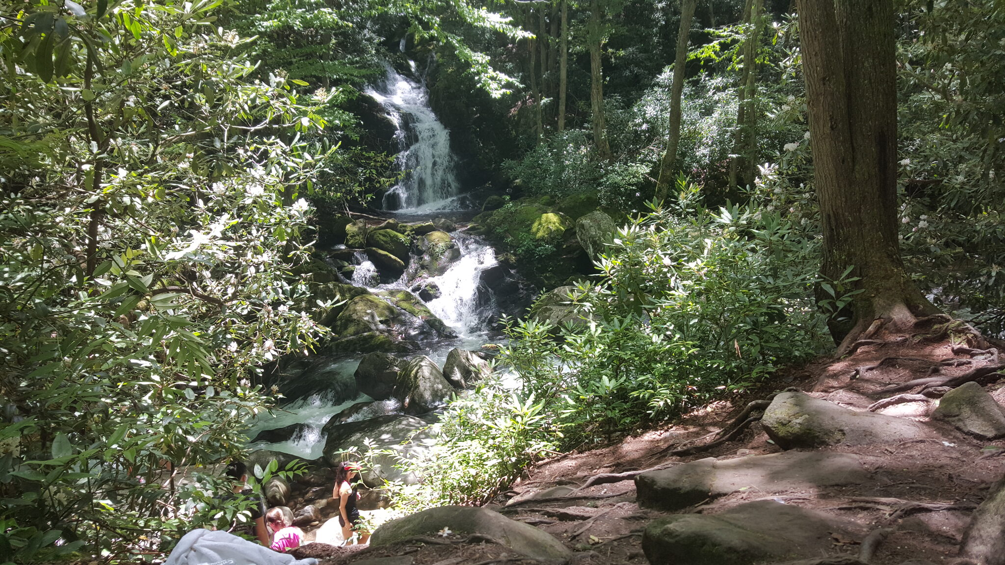
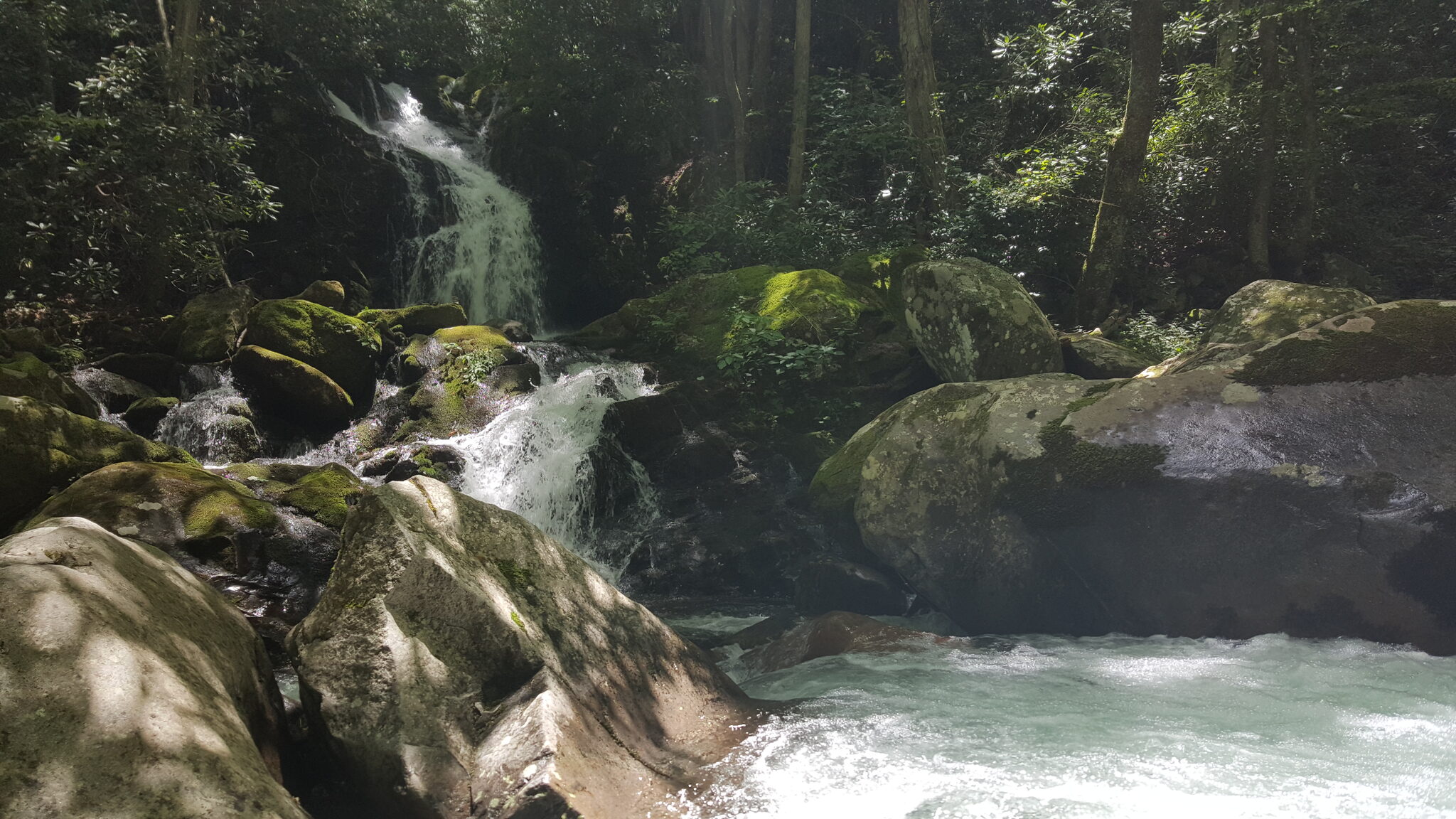
8. Mingo Falls
One of the tallest and most beautiful waterfalls in the Southern Appalachians at 120 feet. The hike is short — just 0.4 miles — but involves climbing 161 steps. The payoff is spectacular: a thundering cascade surrounded by dense forest. Located on the Cherokee Indian Reservation, about 25 minutes from the cabin. For more waterfall hikes, see our complete waterfall guide.
Parking: Free • Location: Cherokee, NC
Drive from Cabin: 25 minutes — 📍 Get Directions from Our Cabin
Official Info: Visit Cherokee NC — Waterfalls
AllTrails: View on AllTrails — Mingo Falls
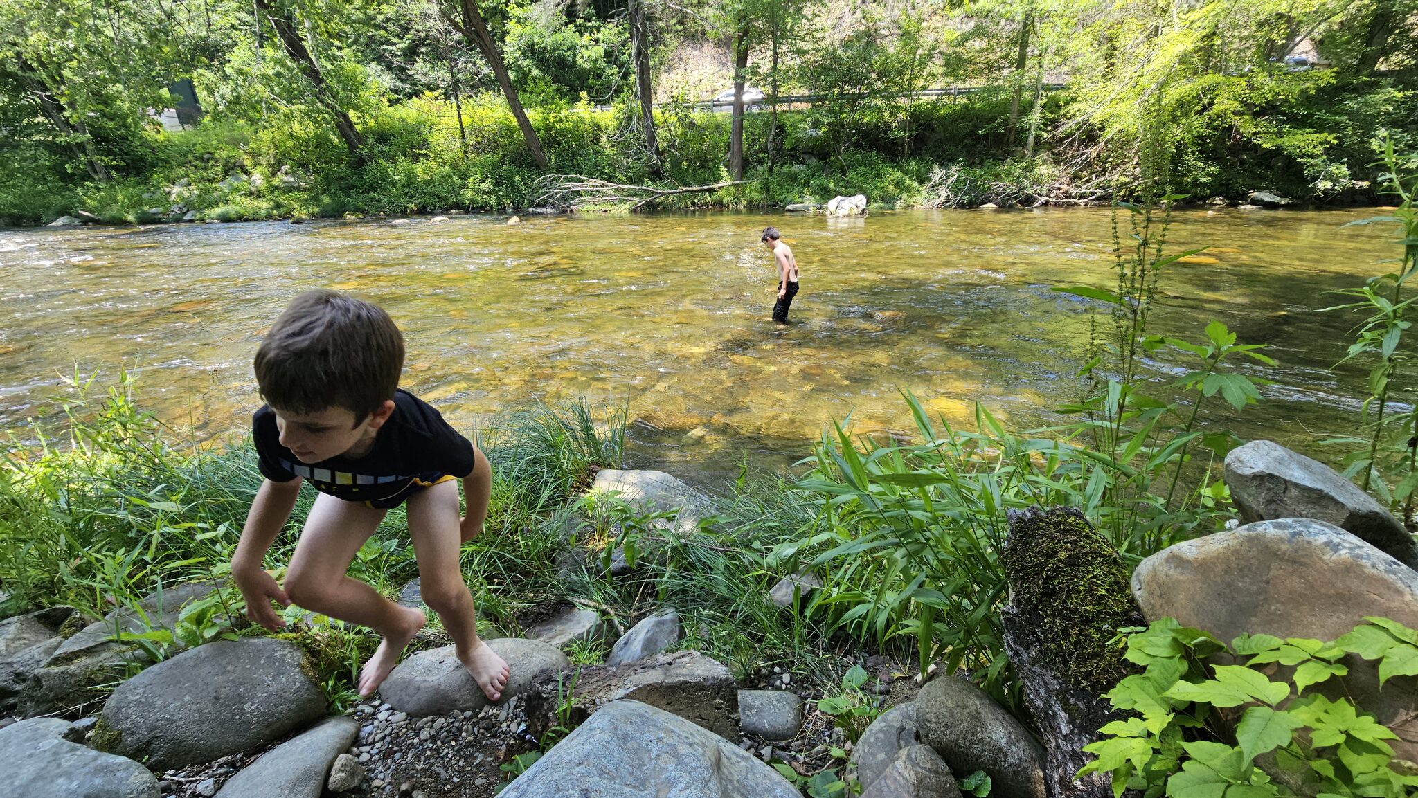
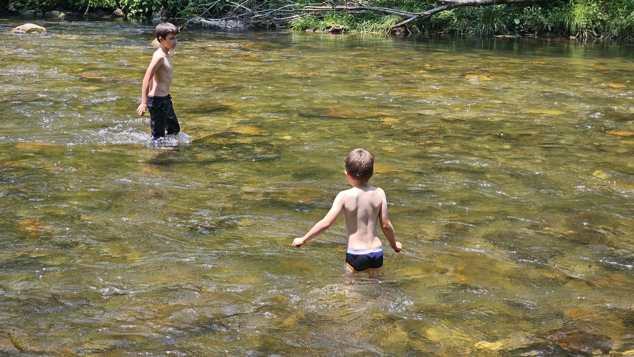
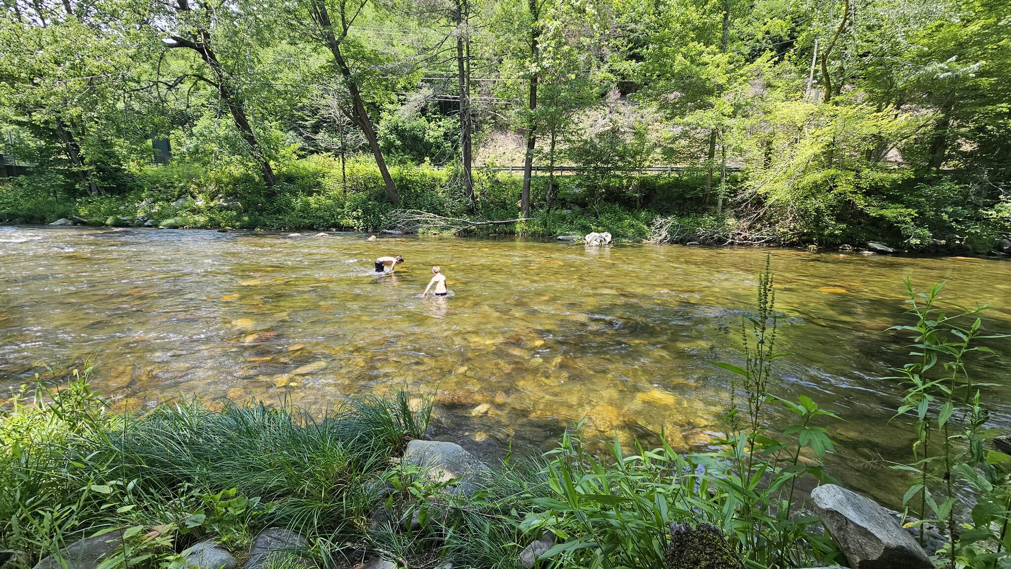
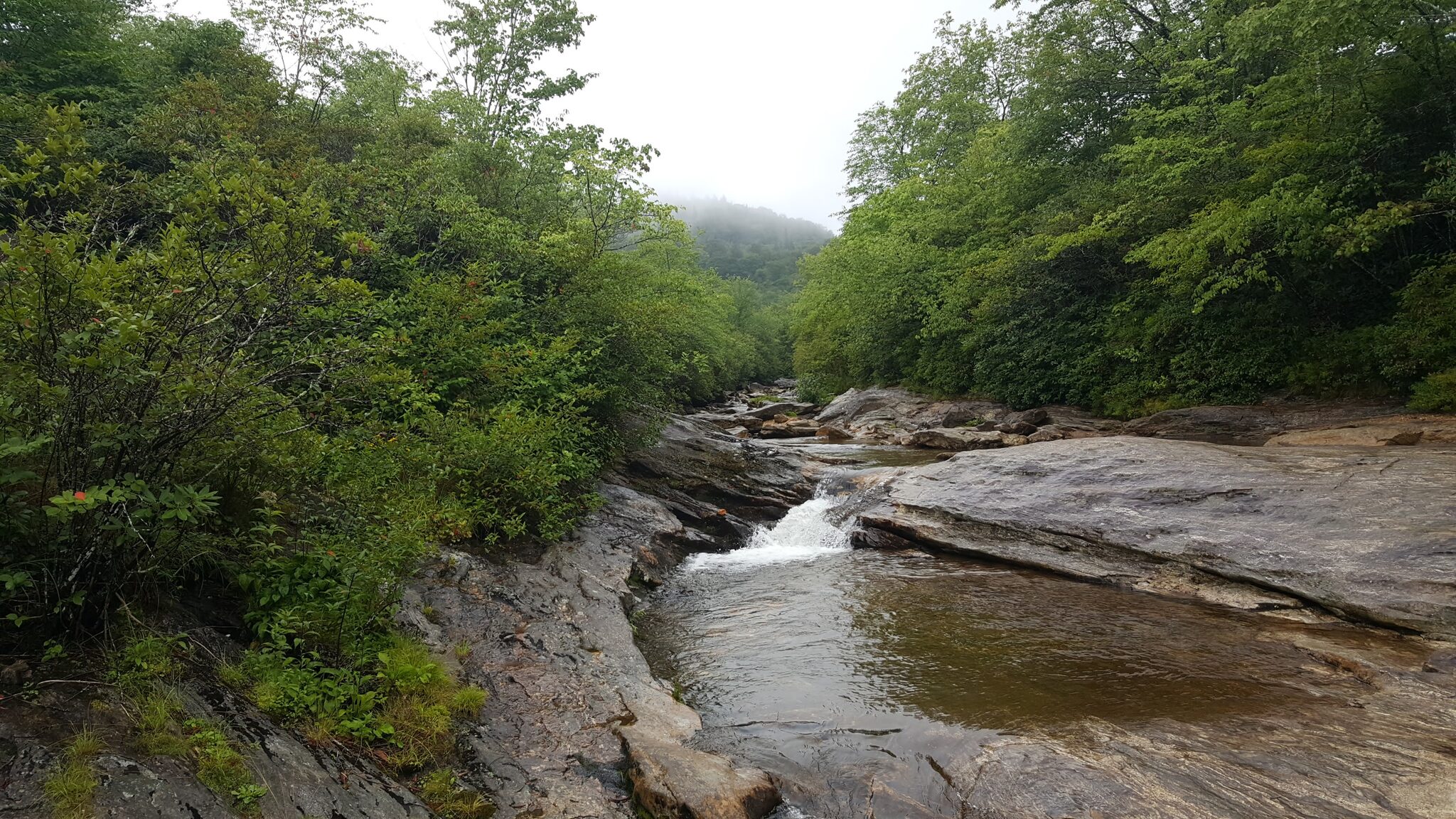
9. Deep Creek Waterfalls + Tubing
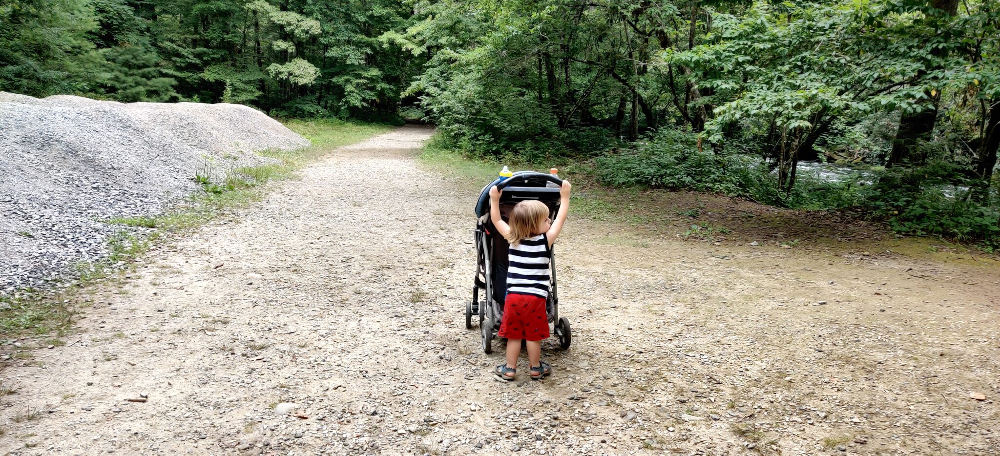
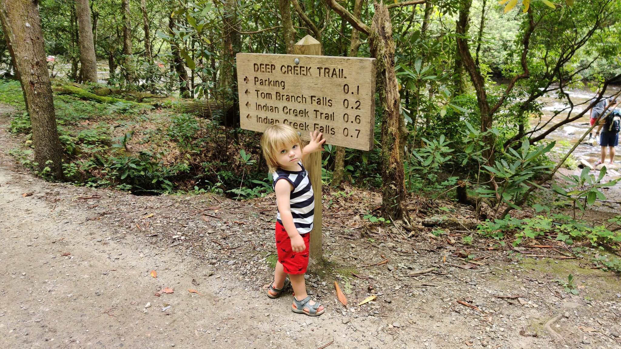
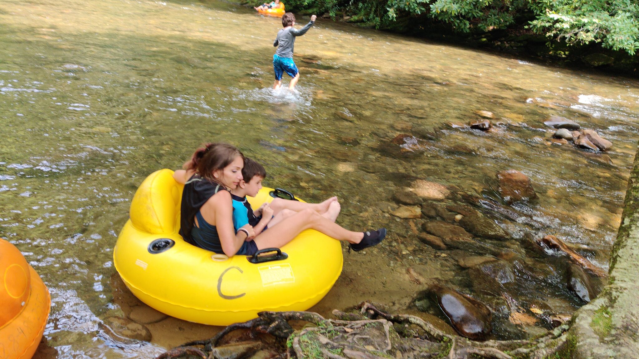
The Deep Creek area near Bryson City offers easy trails along a beautiful creek with three waterfalls. Juney Whank Falls (0.3 miles), Tom Branch Falls (0.2 miles), and Indian Creek Falls (0.8 miles) are all quick walks. In summer, this is also a popular tubing destination — rent inner tubes in town and float down the creek. Kids love it.
Bonus: Tube rentals available in summer • Parking: $5/day tag required
Drive from Cabin: 35 minutes — 📍 Get Directions from Our Cabin
Official Info: National Park Service — Deep Creek Waterfalls Loop
AllTrails: View on AllTrails — Deep Creek Loop Trail
10. Midnight Hole & Mouse Creek Falls
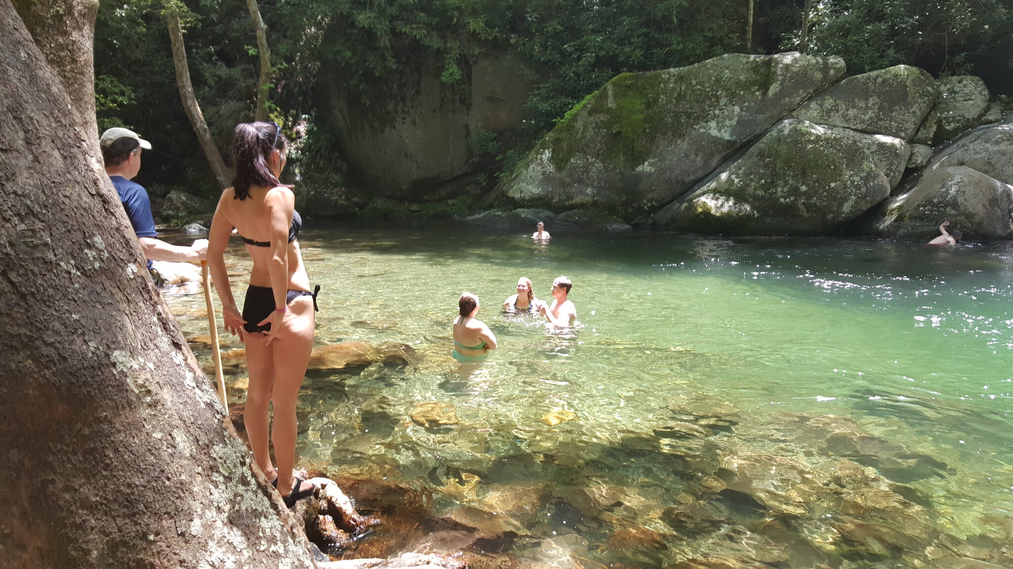
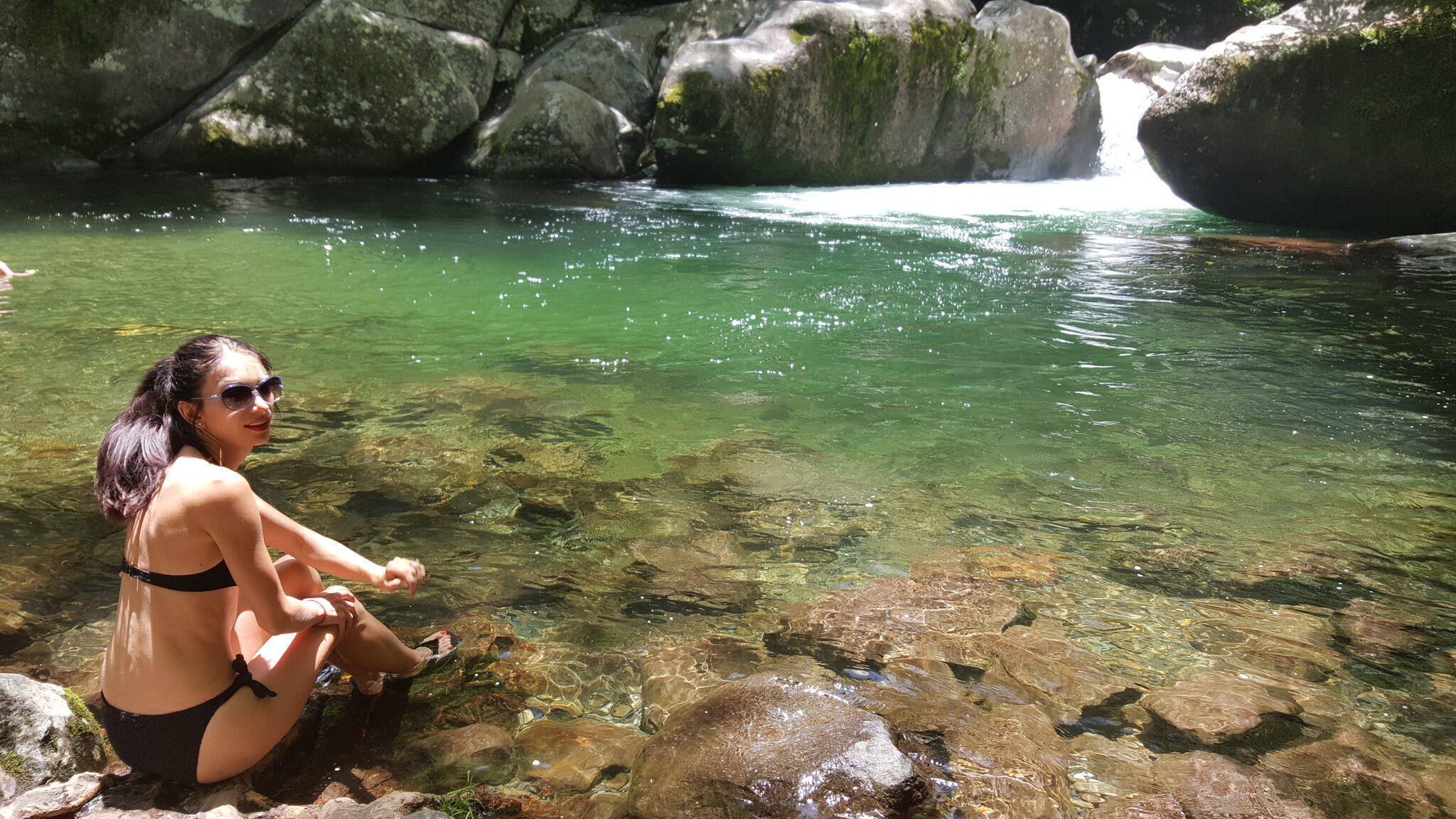
Two spectacular features along the Big Creek Trail. Midnight Hole is a deep, dark swimming hole surrounded by rock walls — stunning turquoise water that's one of the best swimming spots in the Smokies. Continue another mile to Mouse Creek Falls, a 45-foot cascade that drops into Big Creek. The whole trail follows an old railroad grade, making it wide and relatively flat. An easy hike with a big payoff.
Location: Big Creek area, Great Smoky Mountains National Park
Drive from Cabin: 40 minutes — 📍 Get Directions from Our Cabin
Official Info: National Park Service — Mouse Creek Falls
AllTrails: View on AllTrails — Mouse Creek Falls via Big Creek Trail
Our cabin sits on a private wooded lot in Waynesville — 20 minutes from the Blue Ridge Parkway and 30 minutes from the Great Smoky Mountains. Hot tub, fire pit, and mountain views to recover after the hike. Check availability →
Moderate to Challenging
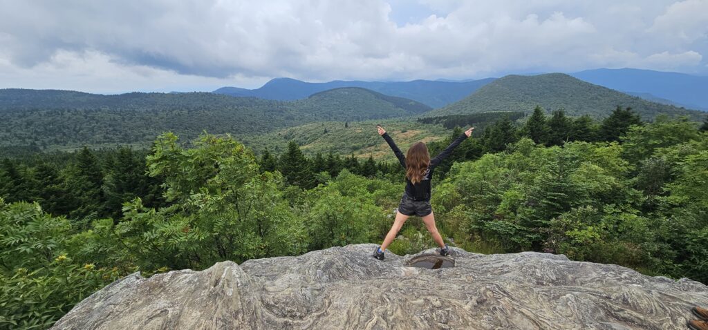
11. Graveyard Fields Loop
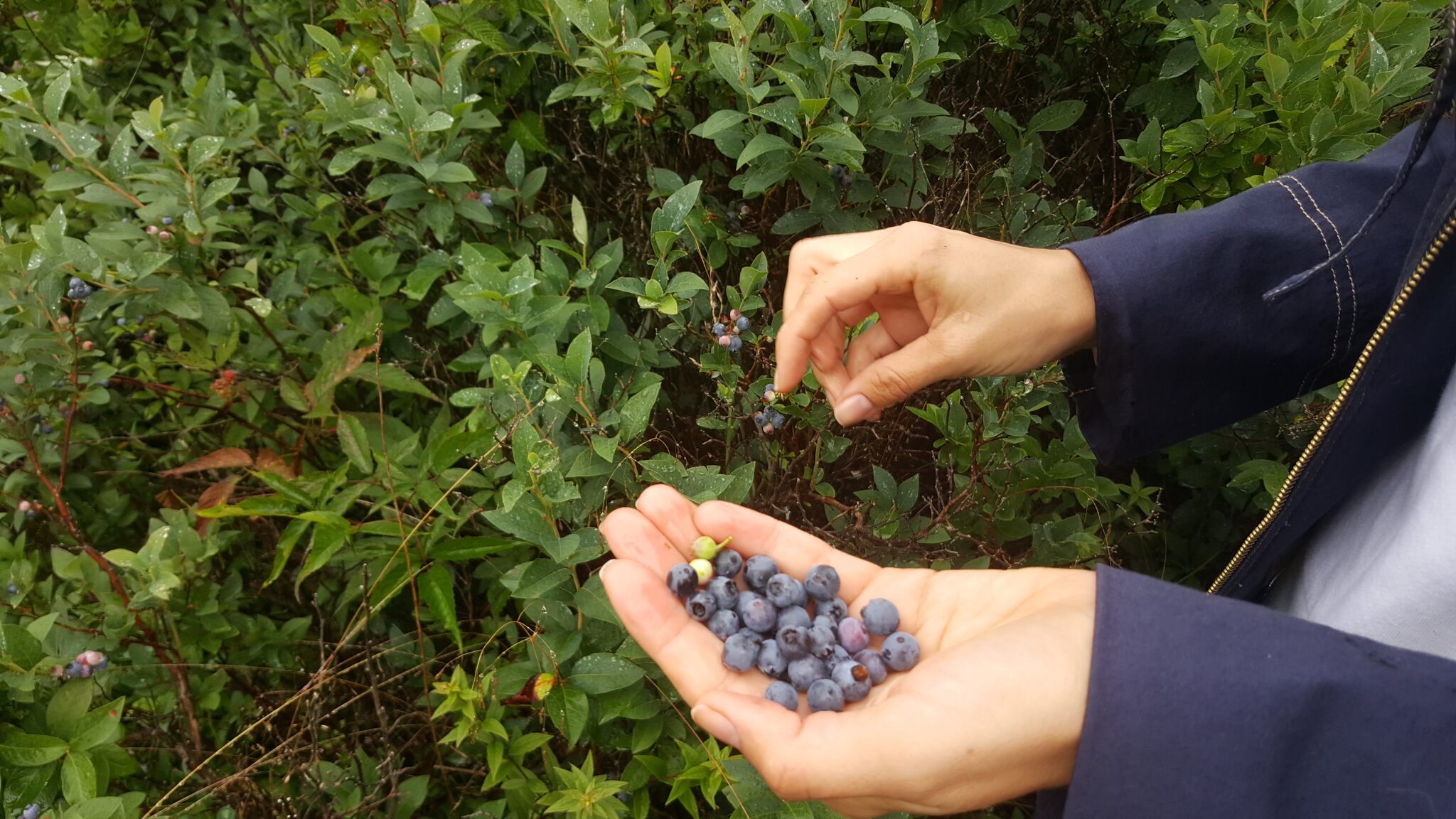
A 3.2-mile loop featuring two waterfalls — Upper Falls and Second Falls — and wild blueberry fields that ripen in late July. The trail follows the Yellowstone Prong through an open valley at 5,100 feet. The landscape looks almost otherworldly, with low scrubby vegetation replacing the typical dense forest. One of the most popular hikes on the Parkway for good reason. Get there early on summer weekends — the parking lot fills by 10am.
Location: Blue Ridge Parkway Milepost 418.8
Drive from Cabin: 25 minutes — 📍 Get Directions from Our Cabin
Official Info: National Park Service — Graveyard Fields
AllTrails: View on AllTrails — Graveyard Fields Loop
12. Sam Knob
Two summits, wildflower meadows in summer, and far fewer crowds than neighboring Graveyard Fields. The flat summit meadow on Sam Knob is one of my favorite lunch spots in the mountains. In late June and July, the meadows between the two peaks explode with wildflowers — flame azalea, mountain laurel, and blueberry bushes everywhere. This trail starts from the same parking area as Black Balsam (#1 on this list), so you can easily combine the two for a full day of high-altitude hiking.
Difficulty: Moderate
Parking: Sam Knob trailhead, Blue Ridge Parkway Milepost 420
Drive from Cabin: 25 minutes — 📍 Get Directions from Our Cabin
Official Info: Asheville Trails — Sam Knob
AllTrails: View on AllTrails — Sam Knob Trail
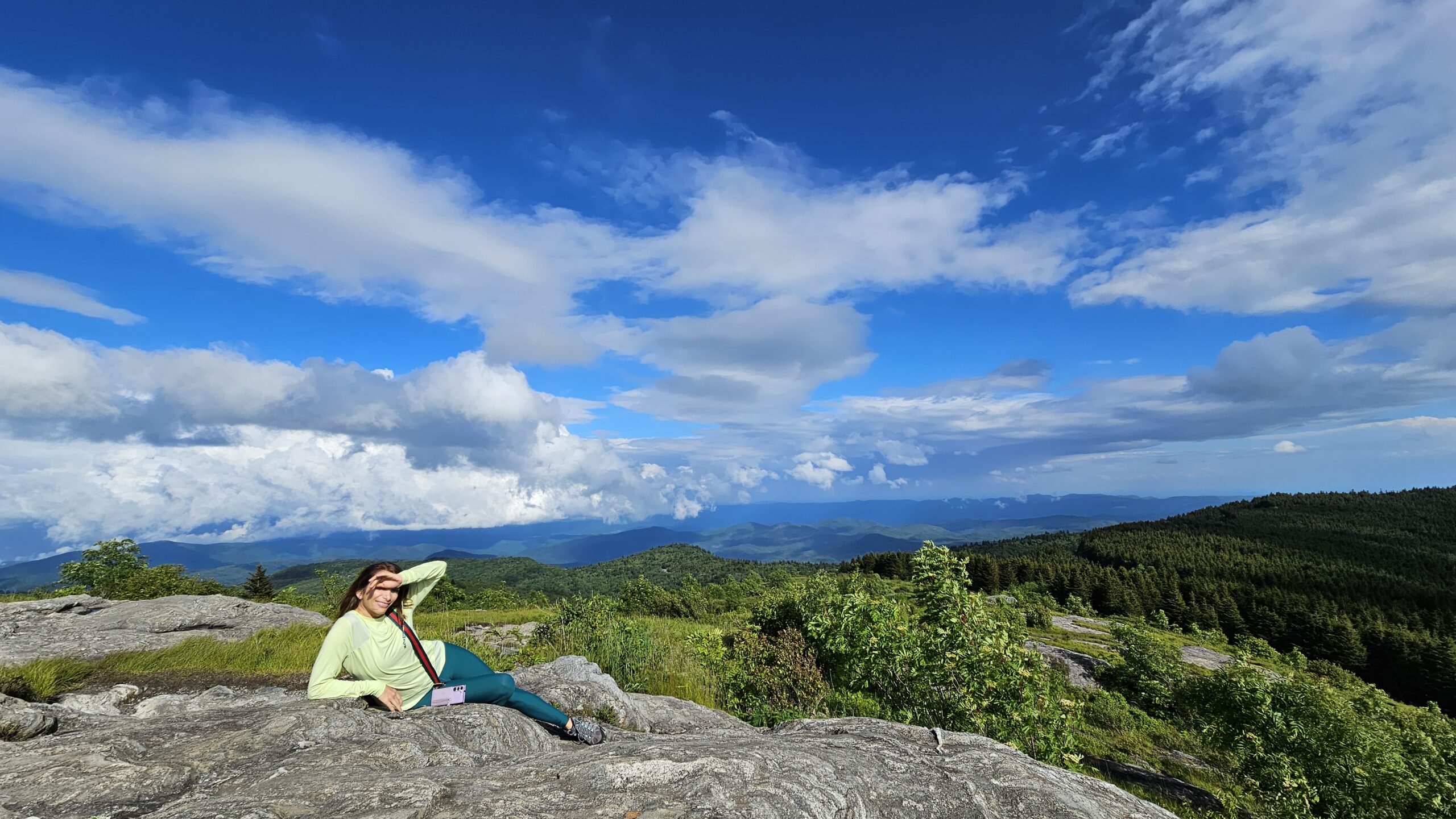
13. Waterrock Knob
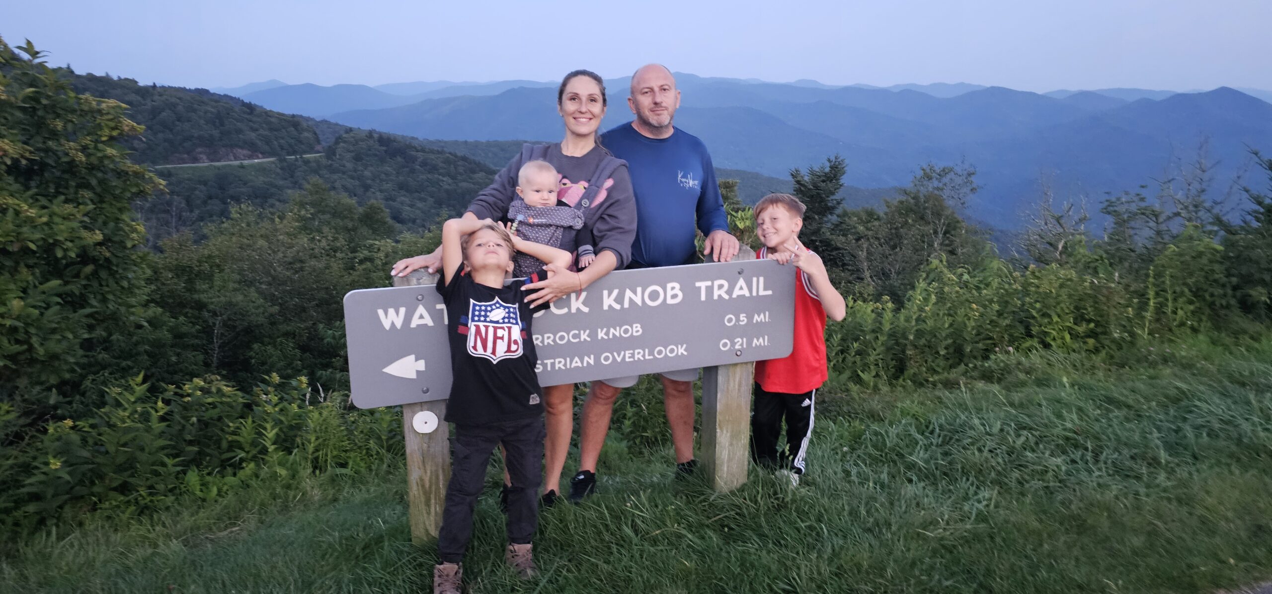
Don't be fooled by the short distance — this 1.2-mile round trip packs a punch. At 6,292 feet, the summit offers panoramic views of the Great Smokies, the Balsam Range, and on clear days, views into four states. The trail gains about 400 feet through a well-maintained but steep path with benches along the way. Best at sunrise or sunset. One of the closest hikes to the cabin.
Difficulty: Moderate (short but steep)
Parking: Paved lot at Milepost 451.2 • Restrooms: Yes
Drive from Cabin: 20 minutes — 📍 Get Directions from Our Cabin
Official Info: National Park Service — Waterrock Knob
AllTrails: View on AllTrails — Waterrock Knob
14. Mount Pisgah
A classic Blue Ridge Parkway summit hike. The trail climbs steeply through Northern hardwood forest and tunnels of rhododendron and mountain laurel to the 5,721-foot summit. It's a short hike but fairly strenuous — don't underestimate it. At the top you get views over the Shining Rock Wilderness, the French Broad River Valley, and on clear days, all the way to Asheville. The Mount Pisgah area also has a great restaurant and campground nearby.
Difficulty: Moderate (steep and rocky)
Parking: Milepost 407.6 on Blue Ridge Parkway • Dogs: Allowed on leash
Drive from Cabin: 30 minutes — 📍 Get Directions from Our Cabin
Official Info: National Park Service — Mount Pisgah Trails
AllTrails: View on AllTrails — Mount Pisgah Area Trails
15. John Rock Trail
A rewarding moderate loop in Pisgah National Forest that takes you to a stunning rocky overlook with views of Looking Glass Rock and the surrounding valleys. The trail starts at the Fish Hatchery near the Pisgah Center for Wildlife Education, wanders alongside the Davidson River, then climbs to the John Rock summit. The trail can get muddy after rain — watch your footing on the roots and stream crossings.
Difficulty: Moderate (muddy after rain, rooty)
Parking: Fish Hatchery / Pisgah Center for Wildlife Education
Drive from Cabin: 40 minutes — 📍 Get Directions from Our Cabin
Official Info: U.S. Forest Service — John Rock Trail
AllTrails: View on AllTrails — John Rock Trail Loop
16. Shining Rock
A 10.4-mile out-and-back to a stunning quartz outcropping at 5,940 feet. The exposed white rock face — Shining Rock — is visible from miles away and looks almost like snow. The trail passes through grassy balds, dense forest, and open meadows. Challenging but rewarding, with the option to camp overnight in the wilderness area. Bring plenty of water and start early.
Difficulty: Challenging
Water: Bring 3+ liters — no reliable water sources
Drive from Cabin: 30 minutes — 📍 Get Directions from Our Cabin
Official Info: U.S. Forest Service — Shining Rock Wilderness
AllTrails: View on AllTrails — Shining Rock via Art Loeb Trail
Every trailhead on this list is within an hour of Smoky Mountain Dream. Our 5-bedroom cabin sleeps 10, with a hot tub, fire pit, and creek out back — everything you need after a day on the trails. Check availability →
Tips for Hiking Near Waynesville
🧥 Bring layers even in summer — mountain summits can be 15°F cooler than the valley. Temperatures at 6,000 feet are dramatically different from town.
📱 Download offline maps — cell service is spotty on many trails. AllTrails offline maps or Gaia GPS are essential.
🛣️ Check Parkway road status — the Blue Ridge Parkway gates close in winter and during severe weather. Call (828) 298-0398 or check current road conditions.
🐻 Bear awareness — black bear encounters are possible on any trail. Make noise, carry food in sealed containers, and never approach wildlife.
💧 Bring water — even on short hikes, bring at least a liter. Mountain air is deceptively dehydrating.
🥾 Wear proper footwear — many trails are rocky and rooty. Sturdy hiking shoes or boots make a huge difference.
🐕 Dogs in the Smokies — pets are NOT allowed on most Great Smoky Mountains National Park trails. The Oconaluftee River Trail and Gatlinburg Trail are the only exceptions. Dogs are welcome on Blue Ridge Parkway and Pisgah National Forest trails on leash.
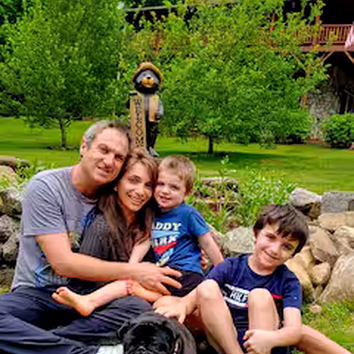
Every one of these trailheads is within an hour of Smoky Mountain Dream. I hike these trails regularly and I'm happy to give you current trail conditions, directions, and my personal favorites based on your group. Just ask! — Zachary, Your Host
More Smoky Mountain Guides